Ask most people what "The Ledges" refers to, and they will point toward the golf course, or the gate code, or the clubhouse roofline visible from the valley on a clear day. Almost none of them will point at actual rock.
That is the strange part of living somewhere named after a geological feature you rarely see up close. The neighborhood sits atop a series of limestone outcroppings, called ledges, that line the southern edge of Huntsville Mountain. Most of that stone now sits under fairway turf, foundation plantings, and the private streets branching off Ledges Drive. If you want to stand on the rock the neighborhood is actually named for, you have to leave it.
The name predates the gate
For most of the twentieth century, the ridge stayed wild. Its elevation, more than 1,582 feet above sea level at the highest point, and its rocky ground kept development away long after the rest of southeast Huntsville filled in. That changed in the late 1990s, when developers broke ground on a golf course built to work with the terrain rather than flatten it. Hurdzan/Fry Golf Course Design laid roughly 750 acres of fairway across the ridge's natural contours, and Mike Hurdzan's work on the course earned him Golf Magazine's Designer of the Year honor in 2003. The course opened in 2000, and the residential streets grew up around it over the two decades that followed.
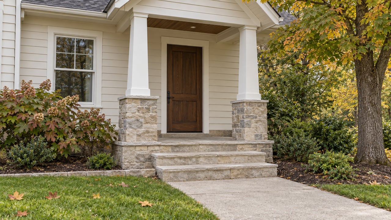
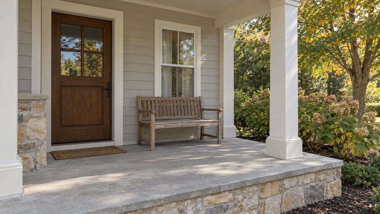
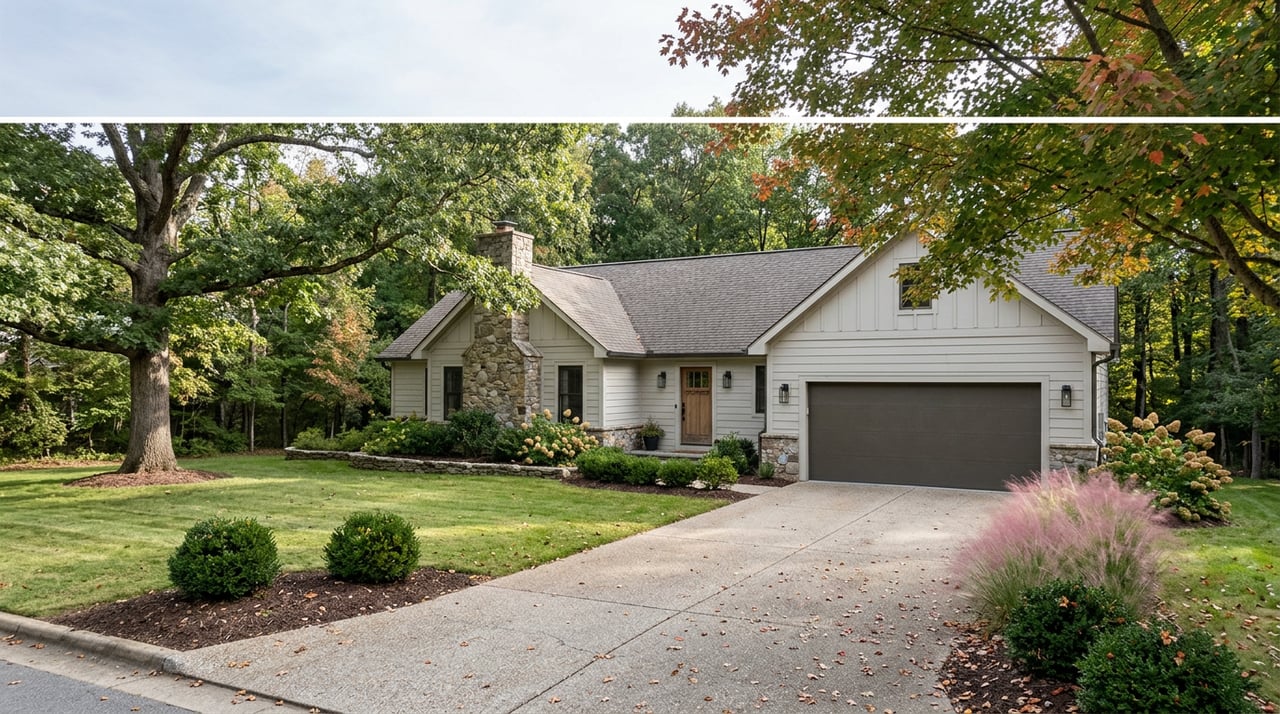
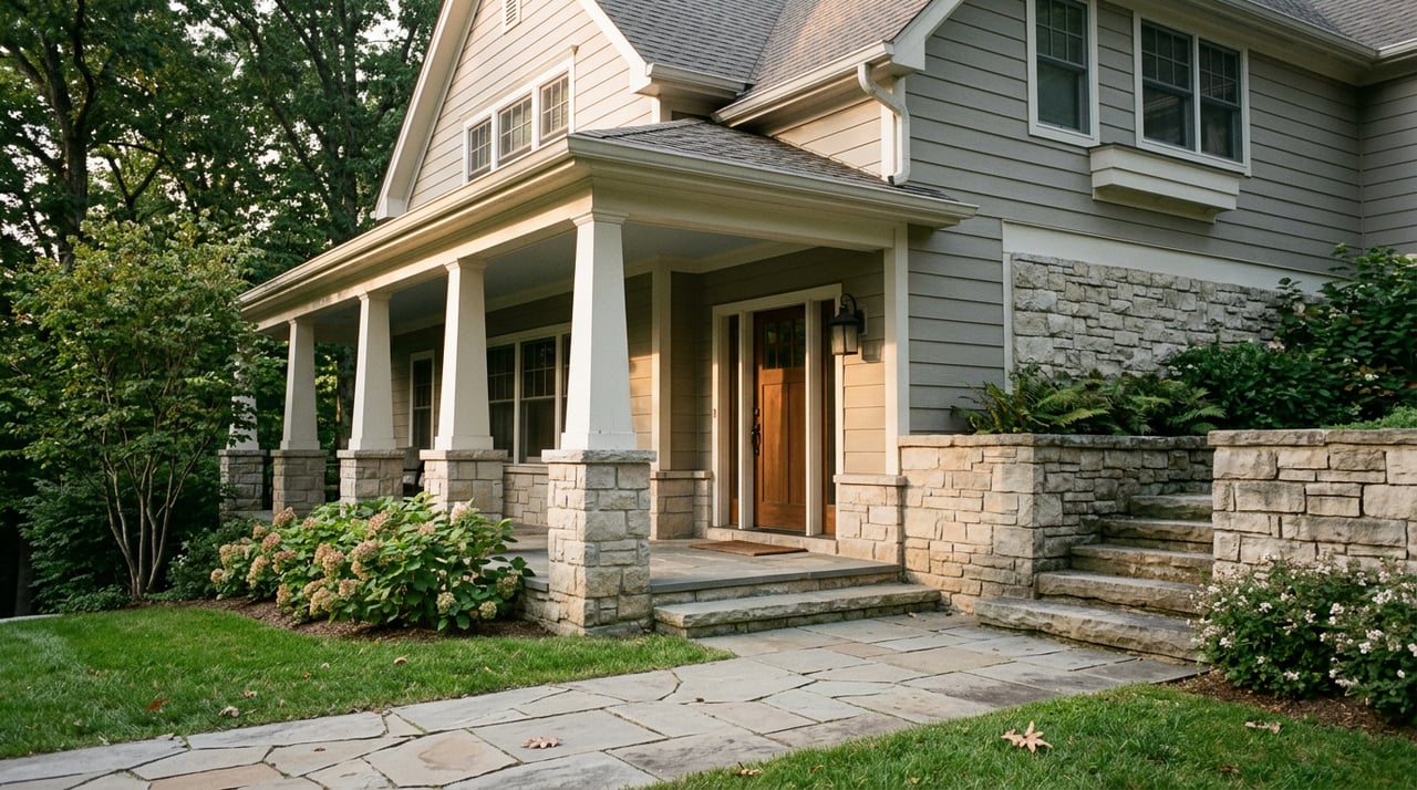
Somewhere in that process, the ledges themselves became scenery rather than the point. Homes along Montdale Road and Castle Down Drive lean toward wraparound porches and historic Southern proportions, a style borrowed from downtown Huntsville rather than from the stone underneath. The name stayed. The rock got quieter.
The public half of the same ridge
Cross Cecil Ashburn Drive on the far side of the mountain and the same ridge shows up again, this time with no gate. Blevins Gap Nature Preserve, managed by the Land Trust of North Alabama, sits on land split into two sections by that road, and it holds the exposed limestone the neighborhood's name actually describes. The northern section, about 267 acres, climbs a rocky incline past wet-weather waterfalls over close to four and a half miles of trail. The larger southern section, 727 acres, carries about eight miles of woodland trail to what the Land Trust itself calls the finest valley view in the city.
Three named trails do most of the work. The Bill and Marion Certain Trail climbs several hundred feet through switchbacks before leveling into a loop with views on both sides of the ridge. The West Bluff Trail runs the other direction along the crest, wider and gentler, ending at a flat overlook near a transmission tower with a clean line down into the Tennessee River Valley. The Sugar Tree Trail follows what looks like an old streambed of boulders down the far slope toward Sugar Tree Place, a residential street off Weatherly Road. None of it requires a membership. The whole system earned National Recreation Trail status in 2012, and it stays open, free, dawn to dusk, every day of the year.
Getting to any of it is simple:
- The main Blevins Gap Trailhead, off Cecil Ashburn Drive, accesses the southern section and its overlook.
- The Fanning Trailhead, behind Southeast Church of the Nazarene, accesses the northern section's incline and waterfalls.
- Marie's Garden, a small pollinator garden near the main overlook, marks the start of the flattest stretch of trail if you just want the view without the climb.
If it is the ledges themselves you are after and not just the address, this is where they still show.
The private side keeps its own calendar
Behind the gates, the mountain runs on a different schedule entirely, tied to golf season rather than hiking season. This year, the club's Club 72 program has offered members a standing weekly rate through the season, and back in February the annual Ledges Amateur filled its field before play began on the 20th and 21st, early enough that late entries landed on a waitlist instead of a tee sheet. Callaway and PXG each ran equipment fitting days that same month, the kind of demo that only shows up on a private course's calendar and never on a public one.
All of it runs through the clubhouse, an English Tudor-style building of roughly 36,000 square feet with a two-story terrace looking out over the same valley the West Bluff Trail reaches on foot. It is the version of that view that comes with a wedding coordinator and a wine list attached, rather than a parking lot and a trail marker.
Two views, one ridge
Inside the gates, the overlook near Old Cobble Drive has become the informal answer to two separate questions: where to watch a sunset, and where to watch the fireworks on the Fourth of July. There is no trail marker for it, no sign, just a spot on the ridge road where people stop the car. A few minutes away, on the other side of Cecil Ashburn Drive, hikers do roughly the same thing from a public overlook that costs nothing and needs no gate code at all.
The two spots are not competing for the same crowd. One comes with membership dues and a golf cart path. The other comes with hiking boots and a free parking lot. But both sit on the same limestone the neighborhood borrowed its name from, and knowing where the public half of it is might be the most useful thing anyone tells you about living up here.
For everything else on the mountain, the shifts in the club calendar, what is changing along Ledges Drive, which trailhead has the better light this time of year, Donna Burns keeps closer tabs on this neighborhood than most. If a question ever comes up about a home on the mountain, or you just want to compare notes on the view, reach out anytime.